
Unity Books
Mr Ward’s Map: Victorian Wellington Street by Street
Mr Ward’s Map: Victorian Wellington Street by Street
Regular price
$90.00 NZD
Regular price
Sale price
$90.00 NZD
Unit price
per
Couldn't load pickup availability
In 1891, a remarkable map of Wellington was made by surveyor Thomas Ward. It recorded the footprint of every building, from Thorndon in the north and across the teeming, inner-city slums of Te Aro to Berhampore in the south.
Updated regularly over the next 10 years, it detailed hotels, theatres, oyster saloons, brothels, shops, stables, Parliament, the remnants of M¿ori k¿inga, the Town Belt, the prisons, the 'lunatic asylum', the hospital and much more, in detail so particular that it went right down to the level of the street lights.
Mr Ward's Map uses this giant map and historic images to tell marvellous stories about a vital capital city, its neighbourhoods and its people at the turn of the twentieth century.
Materials
Materials
Shipping & Returns
Shipping & Returns
Dimensions
Dimensions
Care Instructions
Care Instructions
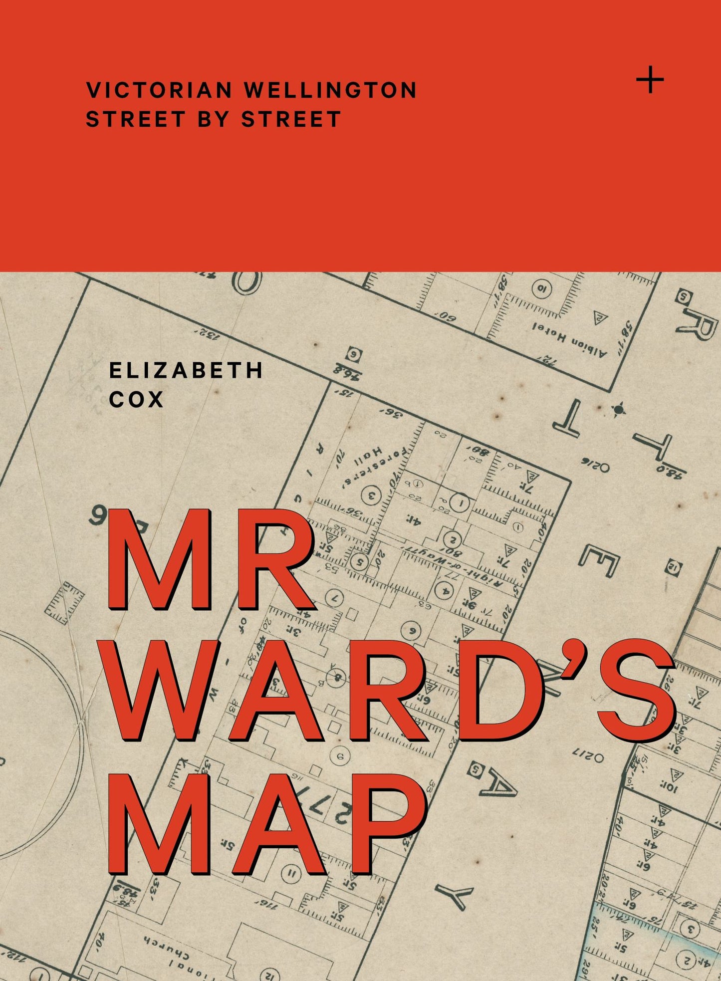
Image with text
Pair text with an image to focus on your chosen product, collection, or blog post. Add details on availability, style, or even provide a review.
-
Free Shipping
Pair text with an image to focus on your chosen product, collection, or blog post. Add details on availability, style, or even provide a review.
-
Hassle-Free Exchanges
Pair text with an image to focus on your chosen product, collection, or blog post. Add details on availability, style, or even provide a review.